Checked the October 14 Earth Sciences New Zealand release, its NIWA-hosted seasonal outlook and PINA/PACNEWS coverage. The two institutional pages describe one forecast; PINA reports that same outlook. The comparison with the 1991–2020 average is drawn from the underlying document. Regional interpretation is identified as INCE NEWS analysis, not a local warning.
Updated : Added the historical-average comparison and regional risk distinctions; clarified that the linked reports describe the same forecast. The original publication date is unchanged.
A seasonal total does not locate the danger
The Southwest Pacific could see seven to eleven named tropical cyclones from November 2026 through April 2027, according to a new outlook released by Earth Sciences New Zealand on October 14. At least four could reach Category 3 or higher, the threshold used in the announcement for severe cyclones.
The forecast range spans the historical average: the underlying outlook gives roughly nine named storms a season for 1991–2020. Seven to eleven therefore does not mean that an above-average basin total is certain. The more useful distinction for individual communities is where the forecast places heightened activity.
El Niño shifts the focus eastward
Principal scientist Andrew Lorrey said strong El Niño conditions can bring more activity near and east of the International Date Line, including areas that are ordinarily quieter. Forecasters see elevated activity in the northern, northeastern and central Southwest Pacific, while the southeast has normal-to-elevated activity.
The outlook was developed with MetService, the University of Newcastle and Pacific island meteorological services. PINA also reports its findings; that coverage describes the same forecast rather than providing a separate meteorological prediction.

The regional pattern matters more than the headline count
The official summary assigns elevated activity to the northern, northeastern and central Southwest Pacific, with normal-to-elevated activity in the southeast. North of the Coral Sea and in the west-central basin it indicates near-normal activity; east of the Coral Sea it indicates normal or reduced activity.
Our interpretation: a single basin-wide label can conceal different local outlooks. Neither a near-normal rating nor a lower regional forecast means zero exposure. The outlook itself warns that damaging weather does not require a direct hit or a severe cyclone.
Seasonal outlooks are not local warnings
Earth Sciences New Zealand describes New Zealand’s risk as normal, with a greater chance of interaction later in summer and autumn. Its media release identifies February and March as the usual most active months for ex-tropical cyclones, while noting that events can fall outside that period.
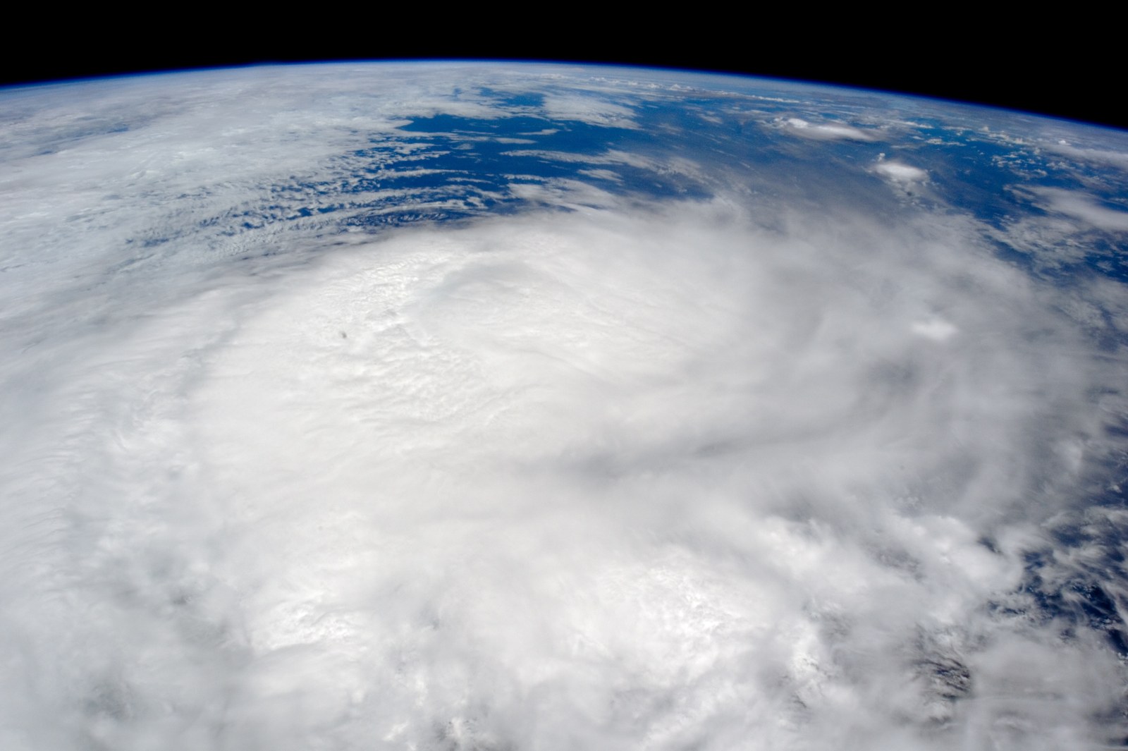
For households and transport operators, the distinction is practical: a basin-wide outlook supports preparation, but current local forecasts determine action when a storm approaches. Communities should follow their national meteorological services and official warnings. The accompanying photographs show Cyclone Winston in 2016 and Funafuti in 2011, not a current cyclone.
Sources
3 references
- Earth Sciences New ZealandIncreased tropical cyclone activity possible for parts of the Southwest PacificPrimary forecast announcement and scientist’s explanation · 2026-10-14
- Earth Sciences New Zealand / NIWASouthwest Pacific Tropical Cyclone Outlook - October 2026Underlying seasonal outlook · 2026-10-14
- Pacific Islands News AssociationSouthwest Pacific faces increased tropical cyclone riskRegional coverage of the same official outlook; not a separate forecast · 2026-10-14


