This article synthesizes published sources listed below. Consult those sources for their evidence and scope.
A record anomaly is forecast for the central Pacific
The World Meteorological Organization said on October 8 that the seasonal average Niño 3.4 sea-surface temperature anomaly is forecast to reach about 3.7°C above the 1993–2009 baseline during October through December. The index covers the central-eastern equatorial Pacific and is widely used to measure El Niño's strength.
That projection would exceed the previous seasonal record of 2.6°C observed from November 2015 through January 2016. WMO said the anomaly had already risen from 1.6°C above normal in June to 2.5°C in August, with the event expected to peak around December.
Thirteen forecasting centres point to persistence into 2027
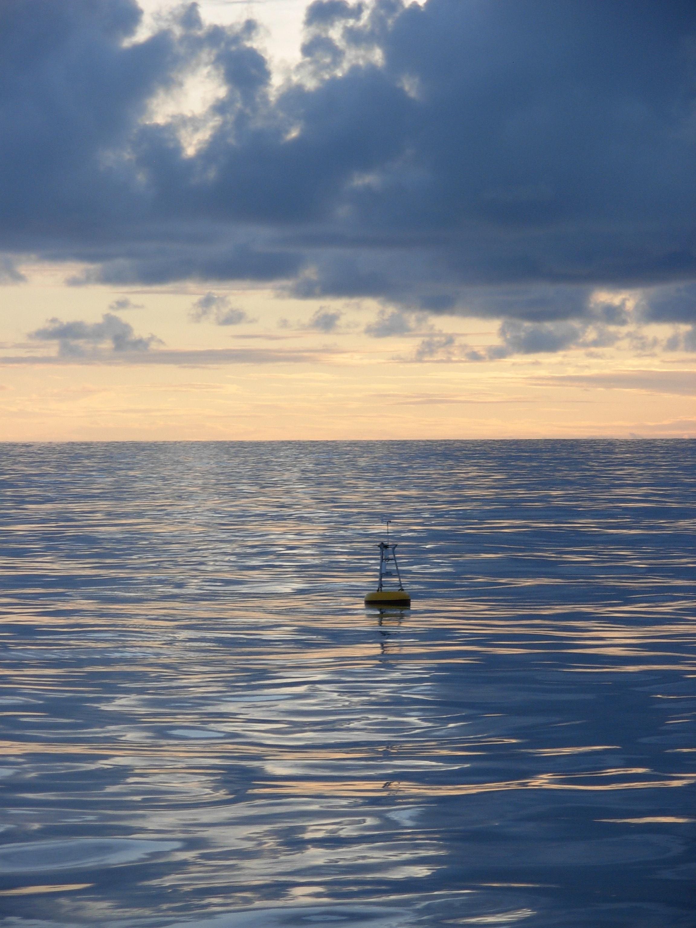
WMO says there is a near-100% likelihood that El Niño will persist through February 2027 and that the event could rank among the strongest since at least 1950. The assessment is a consensus drawn from 13 national and international forecasting centres using shared buoy, satellite and radiosonde observations.
The monthly update complements WMO's quarterly El Niño bulletin by incorporating other large-scale climate drivers. A positive Indian Ocean Dipole is expected to peak in October and then weaken, while equatorial Atlantic sea-surface temperatures are forecast to remain above normal.

Rainfall risks differ sharply by region
For October through December, WMO forecasts increased chances of wetter-than-normal conditions across parts of the central and eastern equatorial Pacific, the Greater Horn of Africa, Central Asia, coastal East Asia, northern Arabia, parts of North America south of 45 degrees north and southeastern South America.
Drier-than-normal conditions are more likely in parts of the western Pacific and equatorial Atlantic, the Indian subcontinent, southern Central America and the Caribbean, northwestern South America and a broad South Pacific belt. Those seasonal signals can affect agriculture, water supplies, energy demand and disaster planning.
Seasonal probabilities are not local weather forecasts
El Niño reorganizes global circulation, but it does not determine every storm, heatwave or drought. Outcomes depend on geography, timing and interaction with other ocean and atmospheric patterns, so WMO advises governments and communities to use regional and national forecasts for operational decisions.
The agency also distinguishes the phenomenon from a new source of planetary heat: El Niño releases heat stored in the ocean and redistributes it through the climate system. Its arrival on top of unusually warm oceans can nevertheless amplify temperature extremes and make preparedness more urgent.
Sources
3 references
- World Meteorological OrganizationSea-surface temperatures reflect strengthening El NiñoPrimary climate update · 2026-10-08
- World Meteorological OrganizationGlobal Seasonal Climate Update for October-November-December 2026Forecast bulletin · 2026-10-08
- ReutersUN weather body says El Niño set to intensify and last until February 2027Independent reporting · 2026-10-08


