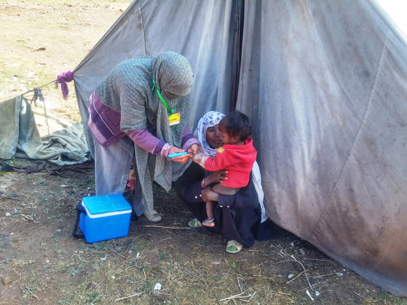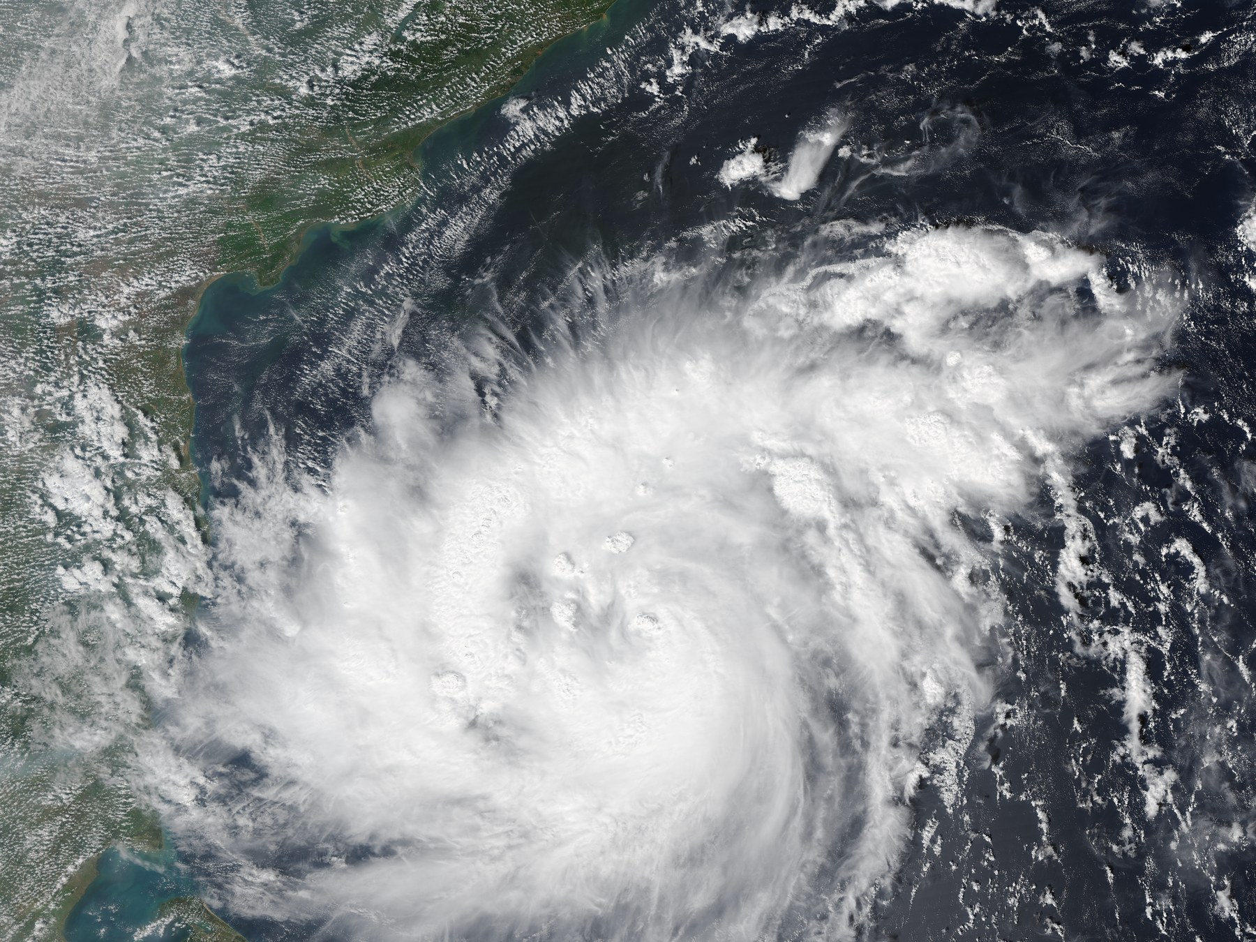
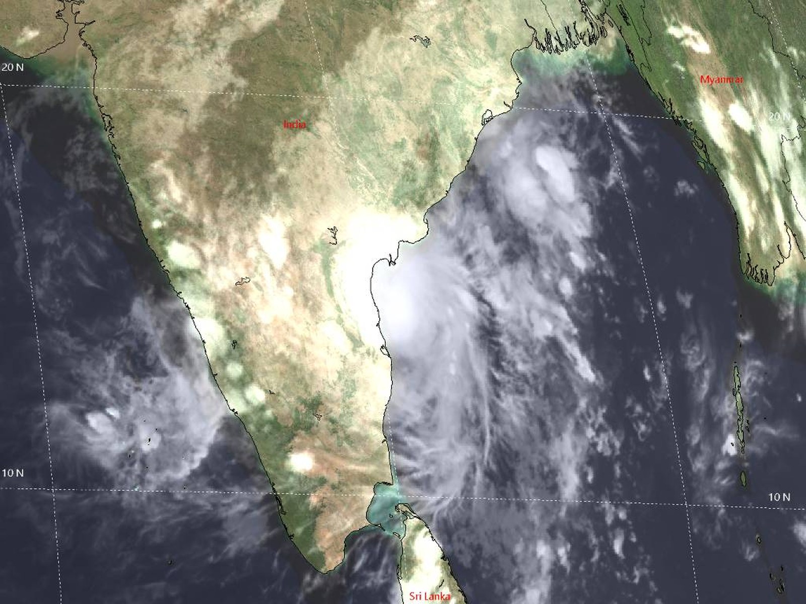
The India Meteorological Department’s 18:30 IST bulletin is the primary source for Murasu’s location, wind forecast and projected landfall window; it describes a forecast, not a landfall that had already occurred. Reuters quoted Andhra Pradesh State Disaster Management Authority managing director Prakhar Jain on the evacuation count and plan. The Indian Express live report supplied the transport disruption figures and rainfall outlook; its counts are time-specific, not end-of-day totals. Both images are public-domain satellite views from NOAA and the Joint Typhoon Warning Center; neither depicts people being evacuated or damage on the ground.
A narrow window for coastal preparations
Cyclone Murasu was moving toward India’s southeastern coast on Monday evening as authorities prepared for evacuations and disruption across Andhra Pradesh. The India Meteorological Department’s bulletin issued at 18:30 IST placed the severe cyclonic storm about 100 kilometres east of Nellore.
The agency forecast that Murasu would cross the south Andhra coast between Nellore and Narsapur, south of Ongole, from 11:30 p.m. Monday to 4 a.m. Tuesday. It projected sustained winds of 100–110 kilometres per hour, with gusts up to 120 km/h. Those timings and wind speeds are forecasts; the bulletin did not say landfall had begun.
Earlier on Monday, Prakhar Jain, managing director of the Andhra Pradesh State Disaster Management Authority, told Reuters that around 2,000 people had been evacuated and that officials planned to move as many as 30,000. The figure was a reported evacuation total at the time of the interview, not a final count.
Transport and rain warnings spread beyond the coast
The approaching storm had already disrupted travel. The Indian Express reported at 6:17 p.m. IST that at least 19 domestic flights had been cancelled at three Andhra airports. Its live coverage also reported nine cancelled train services.
The weather agency forecast heavy to very heavy rain in parts of Andhra Pradesh, with isolated areas facing extremely heavy rain, and warned of heavy downpours in neighboring states. The forecast affects a region still dealing with damage from Cyclone Arnab, which crossed the coast the previous week.
A second storm before recovery is complete
Reuters reported that Arnab killed six people and damaged dozens of homes and crops. Murasu is expected to be less intense than that storm, but the repeated threat raises the stakes for residents and emergency crews while cleanup continues.
The immediate risk depends on the storm’s track and the actual conditions at landfall. Authorities’ evacuation plans and the IMD’s warning window may change as new observations arrive.
Sources
3 references
- India Meteorological DepartmentSea Area Bulletin, valid 12 UTC Nov. 2 to 00 UTC Nov. 3The 18:30 IST primary bulletin located the severe cyclonic storm about 100 km east of Nellore and forecast landfall between Nellore and Narsapur, south of Ongole, from 23:30 IST Nov. 2 to 04:00 IST Nov. 3, with sustained winds of 100–110 km/h and gusts to 120 km/h. · 2026-11-02
- ReutersIndia evacuates thousands ahead of second cyclone in a weekReported that authorities had evacuated around 2,000 people and were planning to evacuate about 30,000, citing Andhra Pradesh disaster authority chief Prakhar Jain; also reported six deaths and damage from Cyclone Arnab the previous week. · 2026-11-02
- The Indian ExpressCyclone Murasu live updates: 19 flights cancelled across three Andhra airportsIts 18:17 IST live update reported 19 flight cancellations across three Andhra airports; the live coverage also reported nine cancelled trains and the IMD’s rain outlook for Andhra Pradesh and neighboring states. · 2026-11-02