Checked India Meteorological Department National Bulletin No. 17 issued October 27 for the storm position, forecast track, wind, rain, surge and safety guidance. Reuters quoted Andhra Pradesh State Disaster Management Authority managing director Prakhar Jain for an evacuation count reported Monday night; The Indian Express separately reported state preparations and school closures. Forecasts may change, and the evacuation count is not a live total.
Landfall forecast for Wednesday morning
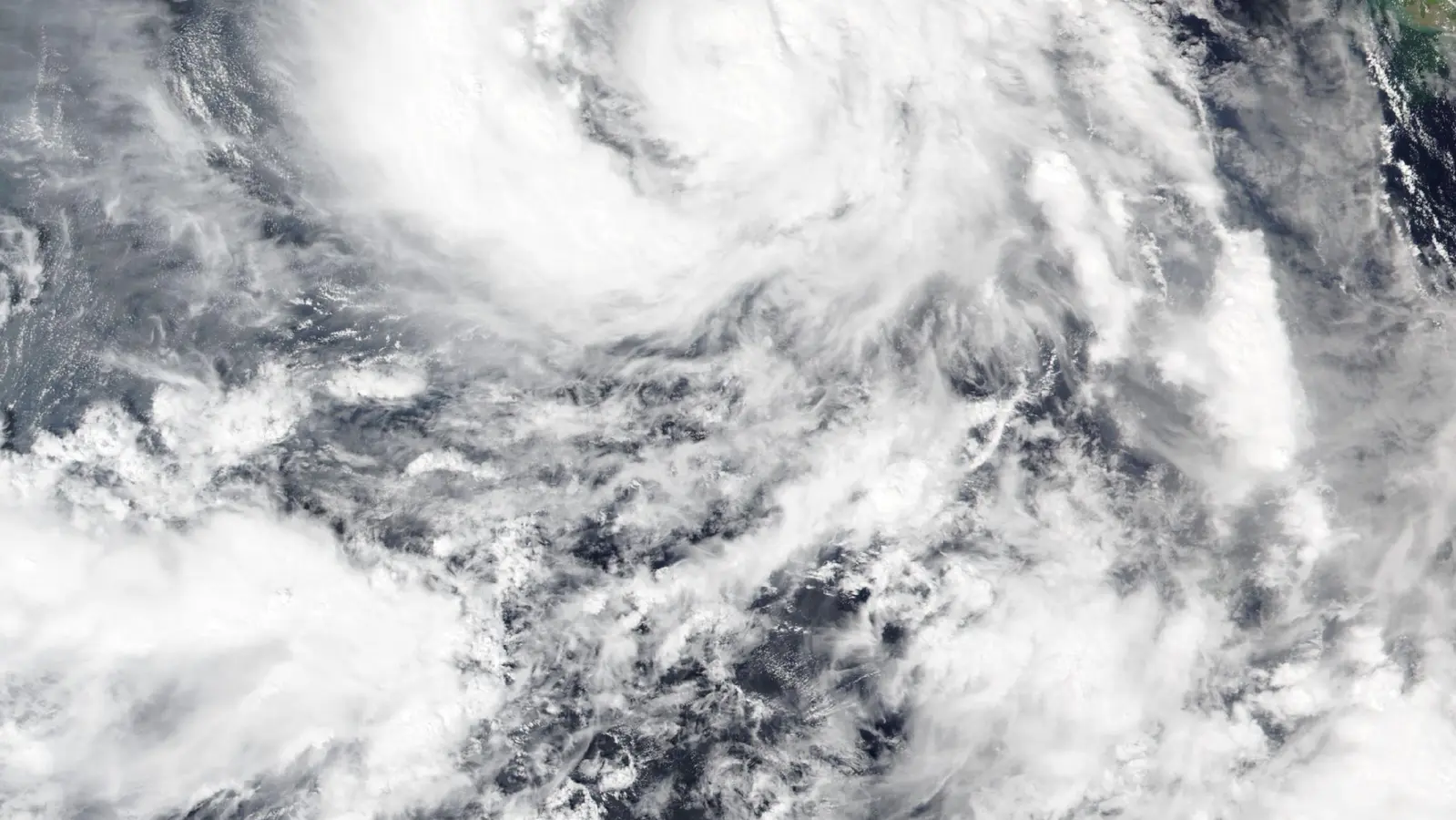
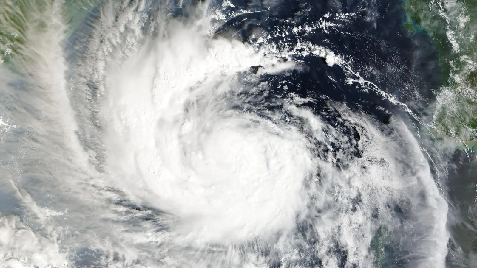
Cyclone Arnab was about 220 kilometres south-southeast of Visakhapatnam at 8:30 a.m. India time on Tuesday, October 27, the India Meteorological Department said. The storm had moved northwest at about 20 km/h over the previous six hours.
The department forecast that Arnab would cross the Andhra Pradesh coast between Bapatla and Visakhapatnam, near Yanam, by the forenoon of Wednesday, October 28. It forecast maximum sustained winds of 125–135 km/h, with gusts up to 150 km/h. These are forecast conditions, not a report of landfall or measured impacts.
Evacuations and transport disruption underway
Nearly 50,000 people had been moved from vulnerable areas to shelters by Monday night, according to Prakhar Jain, managing director of the Andhra Pradesh State Disaster Management Authority, in a Reuters report. Authorities estimated that as many as 400,000 people might need evacuation; the agency said removals were continuing. The figure is a reported count from Monday night, not a current final tally.
Reuters reported that at least 12 trains had been cancelled and 53 routes suspended for Tuesday and Wednesday. The Indian Express reported school closures in affected Andhra Pradesh districts and that 4,711 pregnant women had been moved to safer locations as of Monday evening.
Rain and coastal-surge warnings
The IMD warned of extremely heavy rain at isolated places in Andhra Pradesh on October 27 and 28, with similarly severe rain possible in parts of south Odisha. It forecast a storm surge of about 1–2 metres above the astronomical tide over low-lying parts of the Andhra coast, with the highest levels near Kakinada and Yanam.
The department advised authorities to suspend fishing activity, mobilise evacuation plans and move people from vulnerable coastal huts to safer places. Residents should follow current directions from local authorities as the forecast is updated.
Sources
3 references
- India Meteorological DepartmentNational Bulletin No. 17, issued October 27, 2026Primary forecast and safety bulletin · 2026-10-27
- ReutersThousands evacuate India’s eastern coast ahead of Cyclone ArnabIndependent reporting; quotes Andhra Pradesh disaster-management authority · 2026-10-27
- The Indian ExpressCyclone Arnab: Andhra Pradesh, Odisha prepare for landfall; schools closedRegional reporting on preparedness and public-service changes · 2026-10-26